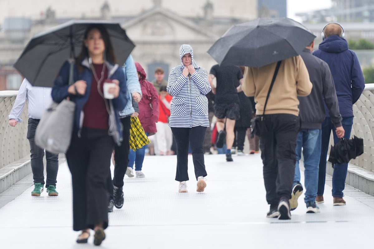
The UK is bracing itself for a freezing, wet and windy weekend with a nine-hour stretch of heavy rain on the cards.
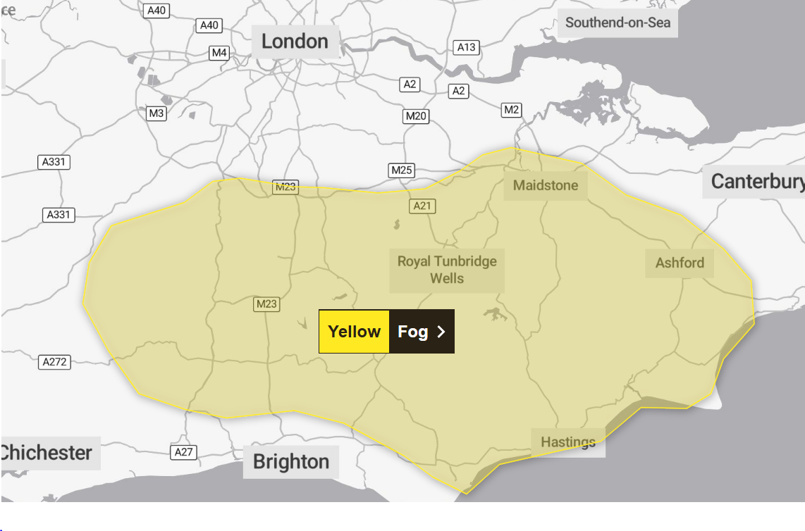
The Met Office issued a yellow weather warning as freezing fog is set to develop across parts of southeast England on Thursday night.
Visibility is likely to fall below 100 metres in places, the forecaster said, and a few patches of ice could form on untreated surfaces before clearing on Friday morning.
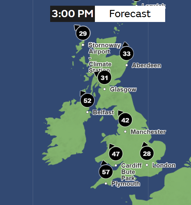
Friday begins with more rain, coupled with strong gusty winds, moving in from the southwest and spreading across the country through the day.
Up to 50 mm of rainfall could fall in areas further north, and parts of eastern Scotland, which will be particularly wet, could surpass this level.
Coastal gales over 50mph will also develop in some places across the UK on Friday.
The Met Office warned the latest spell of unsettled weather will likely cause travel disruption and flooding.
Matthew Lehnert, chief meteorologist at the Met Office, said: “The UK will see further unsettled weather through the weekend and into next week.
“After a chilly start with the chance of some icy patches and fog in the southeast of England, wind and rain will move across the UK through Friday. It’ll be an unpleasant evening rush hour so do leave extra time if you’re out on the roads.”
He added: “The highest rainfall totals from Friday into Saturday will be over high ground in south Wales, southwest England, Cumbria, southwest Scotland and Northern Ireland. 20-30 mm of rain is likely in these areas, most of which will fall in around 6-9 hours.
“Given how wet it has already been, the additional rainfall, especially in western areas, could lead to localised flooding and travel disruption.”
Sunday will see another band of rain moving north-eastwards across the country, but there is less of a chance there will be significant rainfall accumulations in any one place.
UK 5-day forecast
Tonight:
Showers across Wales and southern England fade with cloud and rain becoming confined to northern England and Scotland. Fog developing in eastern England with frost form under clear skies.
Friday:
Fog likely to last until the late morning with showers in the northwest. Turning cloudier with more persistent rain in the west during the late afternoon and winds strengthen.
Outlook for Saturday to Monday:
Brighter with blustery showers on Saturday, but the return of more rain on Sunday. A more settled spell for Monday with sunny spells, before turning unsettled again in the evening.